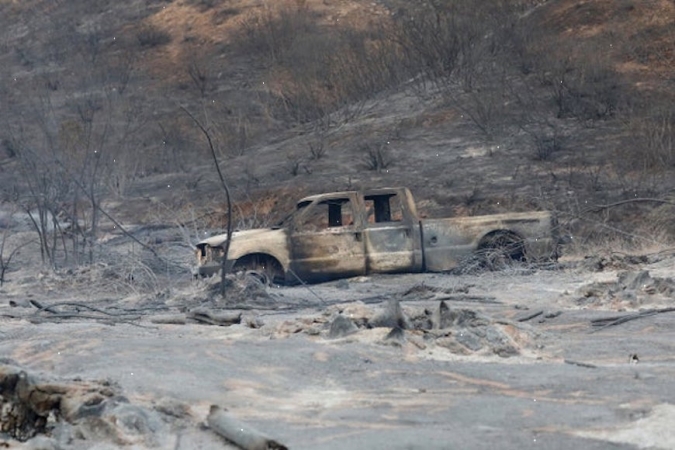
A late-season flurry of flames is sweeping Southern California, driven by high-speed winds surging down the mountains toward the coast.
The Bond Fire, which ignited Thursday, has burned more than 7,000 acres and was 50% contained as of last night.
Authorities warn that a combination of strong winds and warm, dry weather could increase the risk of more blazes this week.
Strong, dry winds are common in Southern California during the fall and winter months. Known as Santa Ana winds, or Diablo winds in Northern California, they originate as masses of cool air in the Great Basin region of the western United States. High-pressure ridges in the atmosphere cause these air masses to sweep down through the mountains toward the coast, warming up and gathering speed as they go.
When paired with hot, dry weather conditions, they’re a major fire hazard. The winds can fan small sparks into raging infernos.
Santa Ana winds occur throughout the fall and winter. But the fire risk tends to be lower this late in the season, as the wet season sets in.
“Typically, by that time, we get a few good rainstorms, so the fuels are not flammable anymore,” said Sasha Gershunov, a climate scientist at the Scripps Institution of Oceanography at the University of California, San Diego. “But this is a year that’s unusual.”
And it may happen more frequently as time goes on.
Climate change is drying out the climate in Southern California, scientists say. That means less rain in the winter, leading to dry vegetation—fuel for wildfires—later in the season.
At the same time, climate change may also affect the Santa Ana winds.
A study published last year suggests that warming may actually dampen Santa Ana wind activity—but the biggest effects will come earlier in the season. That means these winds may be less frequent and less of a threat in the fall, pushing their biggest impact further into the winter.
When they do occur, though, they may be bigger fire hazards. Other research has suggested that climate change may lead to warmer, drier Santa Ana winds in the coming decades.
It’s the combination of these two patterns—increased drying and changing winds—that creates the biggest cause for concern. According to John Abatzoglou, a climate scientist and fire expert at the University of California, Merced, the most important question for California’s fire season is how often Santa Ana wind events will coincide with dry fuel.
That’s likely to happen more often in the future.
“The contraction of the rainy season with climate change will ultimately allow winter rains to be held at bay a bit longer and fuels to be drier deeper into the heart of Santa Ana wind season," said Abatzoglou in an email to E&E News.
Back-to-back Santa Ana wind events—common in winter—may increase the risk of large, late-season fires as the region dries out, Gershunov added.
“When a fire starts and it’s not put out when the second event and a third event starts, it just gets huge,” he said.
It’s already happened in recent years.
The Thomas Fire was the biggest blaze in California history in December 2017. It’s still one of the biggest ever to burn in Southern California.
“That’s why I say it’s the poster for future Santa Ana wind fires,” Gershunov added. “Late and huge.”
